Aviation Maps & Charts
Western Airmotive stocks aviation charts and maps for flying in Australia, from our pilot shop at Jandakot Airport in Perth. The range covers the chart series pilots use for planning, VFR navigation and IFR enroute work, and you can order online.
VFR navigation charts
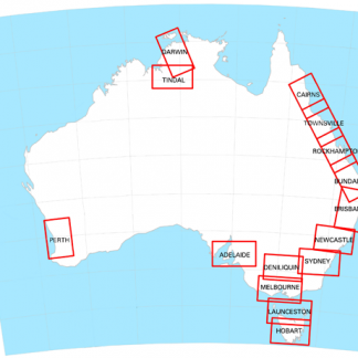
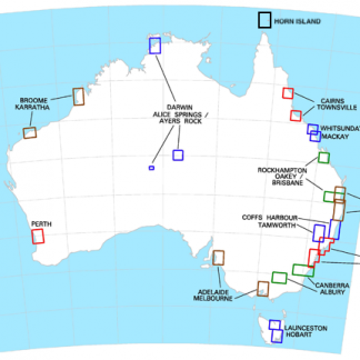
Visual Navigation Charts (VNC) include Perth, Adelaide, Melbourne, Newcastle, Darwin/Tindal, Hobart/Launceston, Cairns/Townsville, Bundaberg/Rockhampton and Sydney/Brisbane. Visual Terminal Charts (VTC) include VTC Perth, Karratha/Broome, Adelaide/Melbourne and Cairns/Townsville. Terminal Area Charts (TAC) are listed as TAC 1/2, 3/4, 5/6 Perth and 7/8.
World Aeronautical Charts and planning
The World Aeronautical Chart (WAC) range lists editions such as Albany, Esperance, Port Augusta, Melbourne and Sydney with their WAC numbers. The Planning Chart Australia and a wallet WAC are also available.
Enroute charts and airstrip guides
Enroute Charts High: ERC High 1/2, 3/4 and 5.
Enroute Charts Low: ERC Low 1/2, 3/4, 5/6 and 7/8.
Country Airstrip Guides for Queensland, New South Wales, Western Australia, South Australia and Victoria and Tasmania.
Check the edition on each product page before you buy. Visit the Western Airmotive pilot shop at Jandakot Airport, Perth, or order online.