Description
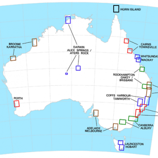
The VTC Oakey/Brisbane/Rockhampton is a Visual Terminal Chart from Airservices Australia for VFR pilots operating in the vicinity of these major aerodromes. This chart provides aeronautical and topographical information at 1:250,000 scale to support safe VFR navigation and help pilots avoid controlled airspace.
Features
- Aeronautical and topographical information at 1:250,000 scale
- Shows prohibited, restricted and danger areas within terminal areas
- Displays control zones, control areas and ATC check points
- Marks VFR approach points for entry to primary control zones
- Includes significant landmarks for VFR navigation
- Amended every 6 months
Buy online or visit the Western Airmotive pilot shop at Jandakot Airport.
More details
VTCs provide both aeronautical and topographical information at a scale of 1:250,000 for VFR operations in the vicinity of major aerodromes. In some cases, these charts show the details of tracks to be flown and significant landmarks which are used by pilots of VFR aircraft to avoid inadvertent penetration of controlled airspaces.
Note: In addition to full topographical information, the VTCs also show the following details:
- prohibited , restricted and danger areas within terminal areas;
- control zones and associated control areas lanes of entry ATC check points; and
- VFR approach points – over which pilots should fly when making VFR entry to a primary control zone.
This chart is amended every 6 months