Description
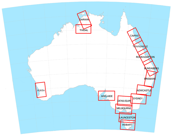
The VNC Darwin/Tindal is a Visual Navigation Chart from Airservices Australia designed for pilots planning flights in relation to controlled airspace around the Darwin and Tindal regions. It bridges the gap between WAC and VTC charts when operating near terminal areas and helps you navigate safely around controlled airspace, restricted and danger areas.
Features
- Topographical information at 1:500,000 scale
- Controlled airspace and Flight Information Area boundaries
- VHF area frequencies for contacting ATS
- MBZ and CTAF details
- Designated Remote Area and Danger/Restricted Areas
- Updated every 6 months
Buy online or visit the Western Airmotive pilot shop at Jandakot Airport.
More details
The VNC will help your plan your flight in relation to controlled airspace. It will also make the transition from the WAC to the VTC when operating around terminal areas.
Additionally, the VNC will help you to navigate when nearing Controlled Airspace or Restricted or Danger areas.
The VNC contains the following details:
- topographical information at a scale of 1:500,000
- controlled airspace and Flight Information Area boundaries
- VHF area frequencies for contacting ATS
- MBZ and CTAF details
- Designated Remote Area and Danger/Restricted Areas
This chart is amended every 6 months